Photogrammetry: Transforming Images into 3D Data for Science and Industry
Photogrammetry is a surveying technique that allows for obtaining precise three-dimensional information from two-dimensional photographs. This methodology is based on analyzing images captured from different angles to reconstruct detailed 3D models of objects, buildings, landscapes, and archaeological sites. Used in a wide range of sectors, from geology to architecture, from cartography to engineering, photogrammetry has become a fundamental tool for documentation and spatial analysis. In this article, we will explore the principles of photogrammetry, its main applications, benefits, and the challenges associated with this technology.
Principles of Photogrammetry
Photogrammetry is based on the concept of photogrammetric triangulation, which uses multiple images of an object taken from different angles to determine the three-dimensional coordinates of points on the object itself. The main steps in the photogrammetric process include:
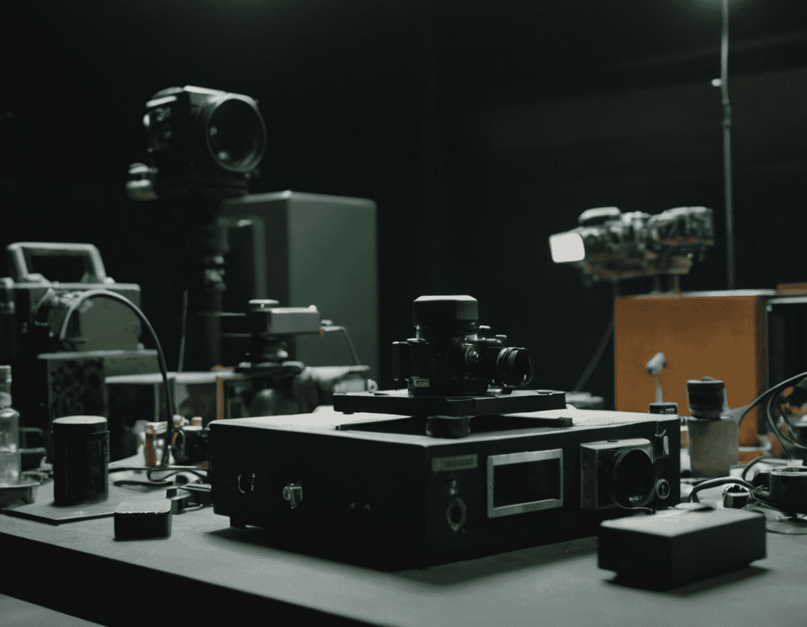
Image Acquisition: Digital photographs are taken from different positions and angles, ensuring complete coverage of the object or scene.
Control Points: Known points with precise coordinates (control points) are identified in the images to calibrate and orient the photographs in three-dimensional space.
Triangulation: Using triangulation algorithms, photogrammetry software calculates the 3D coordinates of corresponding points in the images, creating a three-dimensional model of the object or scene.
3D Reconstruction: The calculated 3D points are used to generate a polygonal mesh, which can be further refined to create a detailed model.
Applications of Photogrammetry
Photogrammetry finds application in numerous sectors, each benefiting from the capabilities of this technology to capture precise and detailed spatial data:
Archaeology: Used to document and analyze archaeological sites, photogrammetry allows for the creation of 3D models of artifacts, structures, and landscapes, facilitating the preservation and study of cultural heritage.
Architecture and Civil Engineering: Architects and engineers use photogrammetry to survey buildings, monitor structures, and plan restoration projects. The generated 3D models can be integrated into design software to improve the accuracy and efficiency of projects.
Cartography and GIS: Photogrammetry is essential for creating topographic maps and updating geographic information systems (GIS). It allows for obtaining precise altimetric and planimetric data, useful for land management and urban planning.
Geology and Mining: Used to map geological areas and mining sites, photogrammetry provides detailed data on terrain morphology and rock structural characteristics, facilitating the analysis and management of natural resources.
Media and Entertainment Industry: In film production and video games, photogrammetry is employed to create realistic virtual environments and objects. The 3D models generated from images provide high-quality textures and visual details.
Benefits of Photogrammetry
Precision and Detail: Photogrammetry offers a high degree of precision in measurement and 3D modeling, making it ideal for applications requiring accurate spatial data.
Efficiency: Image acquisition and 3D model generation are relatively quick processes, allowing for timely and detailed documentation of objects and scenes.
Accessibility: With the advent of digital cameras and drones, photogrammetry has become an accessible technology for a wide range of users, from small businesses to independent researchers.
Non-Invasiveness: Photogrammetry is a non-invasive technique that does not require physical contact with the object or scene, preserving the integrity of cultural heritage and delicate structures.
Challenges of Photogrammetry
Image Quality: The accuracy of 3D models depends on the quality of the acquired images. Poor lighting conditions, insufficient resolution, and inadequate shooting angles can compromise the results.
Calibration and Orientation: Camera calibration and accurate image orientation are crucial for obtaining precise 3D models. Errors in these steps can lead to distortions and inaccuracies.
Data Processing: Generating 3D models requires significant computing power and specialized software, which can be a barrier for users with limited resources.
Data Interpretation: Analyzing and interpreting 3D models require specific skills, and the accuracy of the results depends on the experience and knowledge of the operators.
Conclusion
Photogrammetry is a powerful and versatile technology that is transforming the way we collect and analyze spatial data. Its applications in archaeology, architecture, cartography, geology, and the media industry demonstrate its value in a wide range of contexts. Despite challenges related to image quality, calibration, and data processing, the benefits of photogrammetry in terms of precision, efficiency, and accessibility make it an indispensable tool for three-dimensional documentation and analysis. With the continued development of acquisition technologies and processing software, photogrammetry will continue to evolve, offering new opportunities for science and industry.